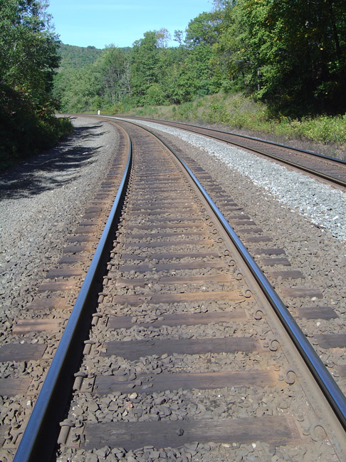
Well, as you can see from the above description this particular trail system is not a loop. So in otherwords, you have to backtrack the way you came in order to get back to your car. This did not appeal to me, so I <ahem> made it a loop trail. I walked along the rails on the CSX access road that the trucks use.
Again, I cannot communicate how stupid it would be to walk too close to the rails. Also, don't cross bridges.
I took a breather once I got to the other side of the river by crossing the last arch you saw pictured on the other page. I was rewarded by that familiar low rumbling noise of an approaching train! Now I love trains so I of course put the camera in video 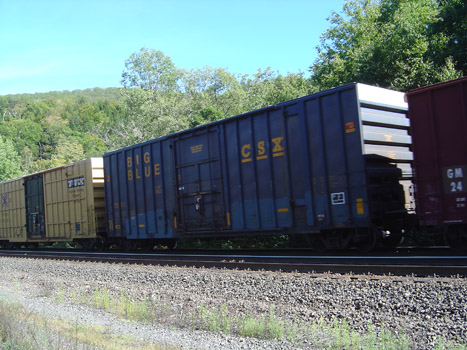 record mode. A CSX train rolled by at moderate speed. After the engines passed the engineer hit the brakes, probably because he was heading on a slight downhill and towards the town of Huntington. The metal on metal screech was deafening, like a banshee wailing in the night. CLICK FOR VIDEO
I followed the tracks which mirrored the path that I had taken in. I was rewarded by catching a glimpse of what the kiosk referred to as "arch 3, not publicly accessable" <cough>
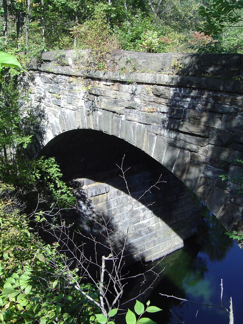
This arch was not accessable in terms of walking on top of it. Vegetation has reclaimed this area. But the pictures of what once was are nice.
This particular arch is not nearly as tall as the other ones. I judge this one to perhaps be 40 or 50 feet tall to the waterline. 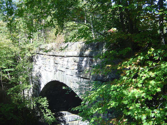
A few more for your viewing pleasure
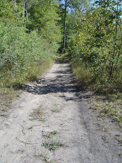
The above right picture is a view of the top of the arch. The trees to the sides of the "trail", aka the old railbed, betray the fact that there is a sheer dropoff 70 feet straight down. This is why you need to keep your kids and pets in check at all times.
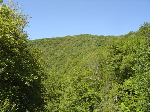
A wonderful view up the mountain. The green is starting to fade just a bit already, most likely due to lack of rainfall.
If you have a broadband connection and would like to see some high-res images of the trail and general area, use the links below. Google Earth imagery!
Ariel Map 1, with line overlay showing trail
Ariel Map 2, showing the complete trail system
Ariel Map 3, awesome relief view of the area.
<<GO BACK | GO HOME | NEXT PAGE >>
Well, as you can see from the above description this particular trail system is not a loop. So in otherwords, you have to backtrack the way you came in order to get back to your car. This did not appeal to me, so I <ahem> made it a loop trail. I walked along the rails on the CSX access road that the trucks use.
Again, I cannot communicate how stupid it would be to walk too close to the rails. Also, don't cross bridges.
I took a breather once I got to the other side of the river by crossing the last arch you saw pictured on the other page. I was rewarded by that familiar low rumbling noise of an approaching train! Now I love trains so I of course put the camera in video record mode. A CSX train rolled by at moderate speed. After the engines passed the engineer hit the brakes, probably because he was heading on a slight downhill and towards the town of Huntington. The metal on metal screech was deafening, like a banshee wailing in the night. CLICK FOR VIDEO
I followed the tracks which mirrored the path that I had taken in. I was rewarded by catching a glimpse of what the kiosk referred to as "arch 3, not publicly accessable" <cough>
This arch was not accessable in terms of walking on top of it. Vegetation has reclaimed this area. But the pictures of what once was are nice.
This particular arch is not nearly as tall as the other ones. I judge this one to perhaps be 40 or 50 feet tall to the waterline.
A few more for your viewing pleasure
The above right picture is a view of the top of the arch. The trees to the sides of the "trail", aka the old railbed, betray the fact that there is a sheer dropoff 70 feet straight down. This is why you need to keep your kids and pets in check at all times.
A wonderful view up the mountain. The green is starting to fade just a bit already, most likely due to lack of rainfall.
If you have a broadband connection and would like to see some high-res images of the trail and general area, use the links below. Google Earth imagery!
Ariel Map 1, with line overlay showing trail
Ariel Map 2, showing the complete trail system
Ariel Map 3, awesome relief view of the area.
<<GO BACK | GO HOME | NEXT PAGE >>